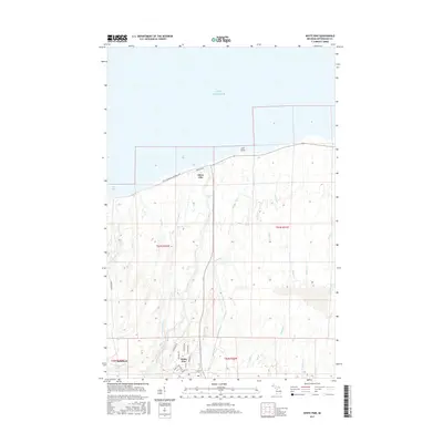
2017 Map of White Pine
USGS Topo · Published 2017About this map
Silver City sits at the junction of the 107th Engineers Memorial Hwy and the shore of Lake Superior, serving as a gateway to the Ontonagon County coast. To the south, the settlement of White Pine is mapped with a distinct residential street grid, including Hemlock St and Balsam St, alongside a Post Office. The landscape is defined by a dense network of watercourses flowing north toward Union Bay, many of which drop over significant ledges such as Bonanza Falls and Nonesuch Falls.
Find a feature on this map
41 named features on this map. Tap any name to fly to it.
Don’t see what you’re looking for? This feature index may not catch every label — zoom into the map to look around manually.
Map Details
Editions of this 2017 White Pine Map
This is the sole edition of this map. No revisions or reprints were ever made.
Other maps of this area

1949 · Matchwood NW
USGS Topo · 1:24,000

1949 · White Pine
USGS Topo · 1:24,000

1949 · Bergland NE
USGS Topo · 1:24,000

1955 · Ontonagon
USGS Topo · 1:62,500

1956 · Bergland NE
USGS Topo · 1:24,000

1956 · Bergland
USGS Topo · 1:62,500

1956 · White Pine
USGS Topo · 1:24,000

1956 · Matchwood NW
USGS Topo · 1:24,000

1956 · White Pine
USGS Topo · 1:62,500

1956 · Matchwood
USGS Topo · 1:62,500