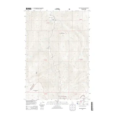
2013 Map of White Rock Peak
USGS Topo · Published 2013About this map
The South Fork Salmon River carves a deep central corridor through this section of Idaho, serving as the primary geographical anchor between the Payette National Forest and Boise National Forest. The map illustrates a high-elevation landscape defined by significant peaks and drainage systems, most notably White Rock Peak. A network of Forest Service routes, including Nat For Dev Rd 474 and FN 674, provides access to several remote recreational outposts along the riverbanks. These include Lodgepole Campground, Lodgepole Roadside Park, and Poverty Flat Campground. This 2013 survey details the complex network of named tributaries such as Bearhill Cr, Blackmare Cr, and Snowslide Cr that feed into the Salmon River system, reflecting the area's importance for wilderness management and watershed preservation.
Find a feature on this map
34 named features on this map. Tap any name to fly to it.
Don’t see what you’re looking for? This feature index may not catch every label — zoom into the map to look around manually.
Map Details
Editions of this 2013 White Rock Peak Map
This is the sole edition of this map. No revisions or reprints were ever made.
Other maps of this area

1954 · Gold Fork
USGS Topo · 1:62,500

1954 · Warm Lake
USGS Topo · 1:62,500

1957 · Challis
USGS Topo · 1:250,000

1960 · Challis
USGS Topo · 1:250,000

1963 · Challis
USGS Topo · 1:250,000

1973 · Blackmare
USGS Topo · 1:24,000

1973 · White Rock Peak
USGS Topo · 1:24,000
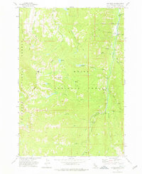
1973 · Log Mountain
USGS Topo · 1:24,000

1973 · Fitsum Peak
USGS Topo · 1:24,000
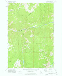
1973 · Caton Lake
USGS Topo · 1:24,000