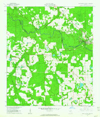
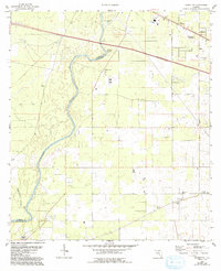
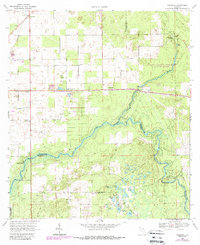
1961 Map of White Springs West
USGS Topo · Published 1963This historical map portrays the area of White Springs West in 1961, primarily covering Suwannee County as well as portions of Hamilton County and Columbia County. Featuring a scale of 1:24000, this map provides a highly detailed snapshot of the terrain, roads, buildings, counties, and historical landmarks in the White Springs West region at the time. Published in 1963, it is one of 3 known editions of this map due to revisions or reprints.
Find a feature on this map
58 named features on this map. Tap any name to fly to it.
Don’t see what you’re looking for? This feature index may not catch every label — zoom into the map to look around manually.
Map Details
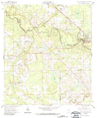
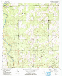
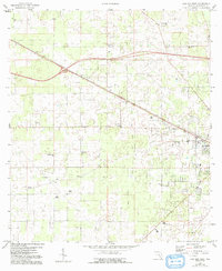
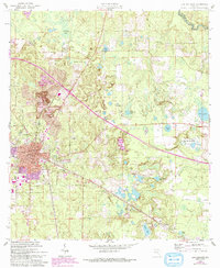
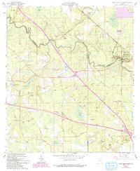
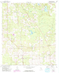
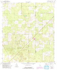
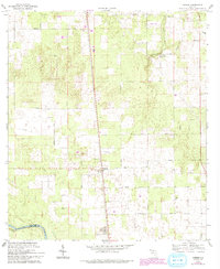
Editions of this 1961 White Springs West Map
3 editions found
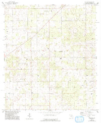
Historical Maps of Florida Through Time
11 maps found
1954 Dowling Park
Suwannee County, FL
1955 Mayo NE
Suwannee County, FL
1959 Falmouth
Suwannee County, FL
1959 Live Oak West
Suwannee County, FL
1961 Live Oak East
Suwannee County, FL
1961 White Springs West
Suwannee County, FL
1968 Hildreth
Suwannee County, FL
1969 McAlpin
Suwannee County, FL
1969 O'Brien SE
Suwannee County, FL
1969 O'Brien
Suwannee County, FL

1969 Wellborn
Suwannee County, FL