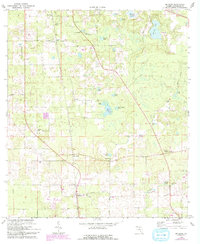
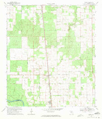
1969 Map of McAlpin
USGS Topo · Published 1993About this map
McAlpin and Padlock anchor this Suwannee County landscape, documented during a period of steady rural development in the late 1960s. The region is defined by a high concentration of community centers and local landmarks, including Beulah Hill Ch, Mt Zion Ch, and Mt Sinai Ch. This density of rural congregations suggests a history of closely-knit family settlements throughout the township.
Find a feature on this map
38 named features on this map. Tap any name to fly to it.
Don’t see what you’re looking for? This feature index may not catch every label — zoom into the map to look around manually.
Map Details
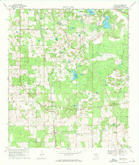
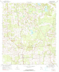
Editions of this 1969 McAlpin Map
3 editions found
Other maps of this area

1954 · Valdosta
USGS Topo · 1:250,000

1955 · Mayo NE
USGS Topo · 1:24,000

1955 · Mayo SE
USGS Topo · 1:24,000

1958 · Valdosta
USGS Topo · 1:250,000

1959 · Valdosta
USGS Topo · 1:250,000

1959 · Live Oak West
USGS Topo · 1:24,000

1961 · Live Oak East
USGS Topo · 1:24,000

1961 · White Springs West
USGS Topo · 1:24,000
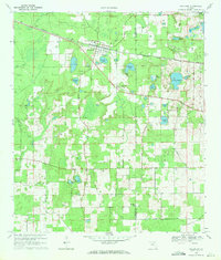
1969 · Wellborn
USGS Topo · 1:24,000
1969 · O'Brien
USGS Topo · 1:24,000