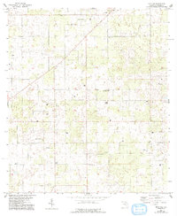
1955 Map of Mayo NE
USGS Topo · Published 1993About this map
Small country churches and schoolhouses dot the rural landscape of Suwannee County in the mid-1950s, representing the social centers of this agricultural region. The map reveals a network of local congregations such as Claywood Ch, Friendship Ch, and New Zion Ch, often located near established burial grounds like Claywood Cem and Smith Cem. Educational hubs like the Shiloh Sch and St James Sch appear along the unimproved roads and section lines, providing a record of the community’s infrastructure before significant modern consolidation. These features, along with Philadelphia Ch and the southern Mt Willing Cem, provide essential data points for family historians tracing early Florida residents through their local parishes and neighborhood schools.
Find a feature on this map
11 named features on this map. Tap any name to fly to it.
Don’t see what you’re looking for? This feature index may not catch every label — zoom into the map to look around manually.
Map Details
Editions of this 1955 Mayo NE Map
3 editions found
Other maps of this area

1954 · Dowling Park
USGS Topo · 1:24,000

1954 · Valdosta
USGS Topo · 1:250,000

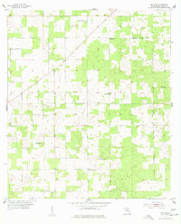
1955 · Mayo NE
USGS Topo · 1:24,000

1955 · Mayo
USGS Topo · 1:24,000

1955 · Mayo SE
USGS Topo · 1:24,000

1958 · Valdosta
USGS Topo · 1:250,000

1959 · Valdosta
USGS Topo · 1:250,000

1959 · Live Oak West
USGS Topo · 1:24,000

1959 · Falmouth
USGS Topo · 1:24,000

1961 · Live Oak East
USGS Topo · 1:24,000