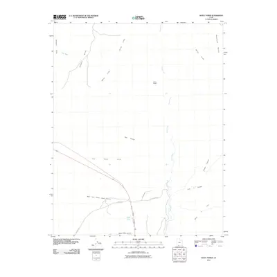
2010 Map of White Tower
USGS Topo · Published 2010About this map
White Cliffs and the Skutumpah Terrace dominate this 2010 landscape of southern Utah, where high desert plateaus meet a complex network of deep drainage systems. The small settlement of Three Lakes sits at the junction of several significant geographic breaks, including Three Lakes Canyon and Cave Lakes Canyon. To the north, the prominent landmark of White Tower rises above the winding path of Kanab Creek. The map documents a sparsely populated but geographically varied terrain, transitioning from the broad Glendale Bench in the northwest to the rugged The Sand Hills in the southwest. Transport through this area is defined by established routes like Kanab Canyon Rd and Hancock Rd, which follow the natural contours of the canyon floors and terrace edges.
Find a feature on this map
19 named features on this map. Tap any name to fly to it.
Don’t see what you’re looking for? This feature index may not catch every label — zoom into the map to look around manually.
Map Details
Editions of this 2010 White Tower Map
This is the sole edition of this map. No revisions or reprints were ever made.
Other maps of this area

1886 · Kanab
USGS Topo · 1:250,000

1953 · Cedar City
USGS Topo · 1:250,000

1954 · Kanab SW
USGS Topo · 1:24,000

1954 · Kanab SE
USGS Topo · 1:24,000

1954 · Johnson SW
USGS Topo · 1:24,000

1954 · Johnson
USGS Topo · 1:62,500

1957 · Kanab
USGS Topo · 1:62,500

1958 · Cedar City
USGS Topo · 1:250,000

1958 · Orderville
USGS Topo · 1:62,500

1962 · Cedar City
USGS Topo · 1:250,000