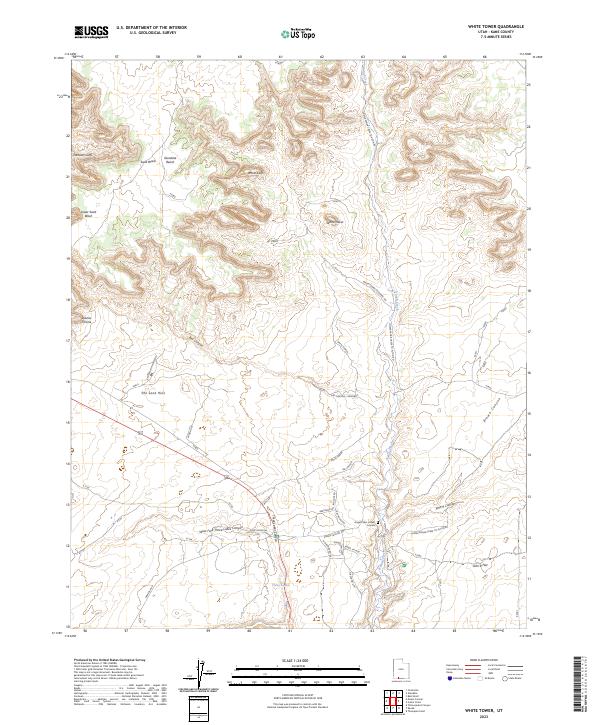
2023 Map of White Tower
USGS Topo · Published 2023About this map
Kanab Creek carves through the red rock formations of southern Utah on this modern survey of Kane County. The landscape is defined by massive geologic features, from the towering White Cliffs and Elkheart Cliffs in the north to the sprawling The Sand Hills south of Dianas Throne. The map highlights a unique local fixture, the Angels Rest at Best Friends sanctuary and Angel Village, situated where Kanab Canyon Rd meets the dramatic drainage of the canyon systems. Settlement is sparse, with the community at Three Lakes and the eponymous White Tower peak serving as primary reference points. A network of unimproved roads like Lower Kanab Creek To Alton RD and White Tower Diagonal RD suggests a terrain shaped by both remote ranching history and modern conservation efforts. The topography here is exceptionally varied, transitioning from the high Glendale Bench down into the deep incisions of West Fork Three Lakes Canyon and John R Canyon.
Find a feature on this map
32 named features on this map. Tap any name to fly to it.
Don’t see what you’re looking for? This feature index may not catch every label — zoom into the map to look around manually.
Map Details
Editions of this 2023 White Tower Map
This is the sole edition of this map. No revisions or reprints were ever made.
Other maps of this area

1886 · Kanab
USGS Topo · 1:250,000

1953 · Cedar City
USGS Topo · 1:250,000

1954 · Kanab SW
USGS Topo · 1:24,000

1954 · Kanab SE
USGS Topo · 1:24,000

1954 · Johnson SW
USGS Topo · 1:24,000

1954 · Johnson
USGS Topo · 1:62,500

1957 · Kanab
USGS Topo · 1:62,500

1958 · Cedar City
USGS Topo · 1:250,000

1958 · Orderville
USGS Topo · 1:62,500

1962 · Cedar City
USGS Topo · 1:250,000