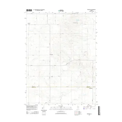
2015 Map of Whitefield
USGS Topo · Published 2015About this map
Milo and the northern reaches of Whitefield are situated within a complex network of creeks and prairie drainages along the border of Bureau and Marshall Counties. The terrain is defined by the winding paths of Senachwine Cr, Crow Cr, and Coopers Defeat Cr, which carve through the agricultural landscape. Small private airfields like the Rinkenberger RLA Airport and Cloverleaf Ranch Airport reflect the modern rural character, while older roots are preserved in local burial grounds such as Boyds Grove Cem and Willow Springs Cem. The geometric precision of the road grid, featuring numbered routes like 700 Ave N and 100 Ave N, contrasts with the organic flow of the waterways and the occasional reservoirs like Newton Lake and Clover Leaf Ranch Lake.
Find a feature on this map
30 named features on this map. Tap any name to fly to it.
Don’t see what you’re looking for? This feature index may not catch every label — zoom into the map to look around manually.
Map Details
Editions of this 2015 Whitefield Map
This is the sole edition of this map. No revisions or reprints were ever made.
Other maps of this area

1893 · Lacon
USGS Topo · 1:62,500

1893 · Hennepin
USGS Topo · 1:62,500

1909 · Hennepin
USGS Topo · 1:62,500

1911 · Hennepin
USGS Topo · 1:62,500

1921 · Buda
USGS Topo · 1:62,500

1923 · Buda
USGS Topo · 1:62,500

1933 · Lacon
USGS Topo · 1:62,500

1933 · Camp Grove
USGS Topo · 1:48,000

1937 · Lacon
USGS Topo · 1:62,500

1945 · Bradford
USGS Topo · 1:62,500