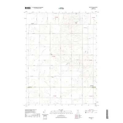
2018 Map of Whitefield
USGS Topo · Published 2018About this map
Milo and Whitefield anchor this section of the Illinois prairie, where the landscape is defined by a grid of agricultural roads and winding creek beds. The area is marked by numerous family and local burial grounds, including Boyds Grove Cem and Willow Springs Cem, which serve as vital points for genealogical research. Waterways such as Senachwine Cr, Crow Cr, and the uniquely named Coopers Defeat Cr cut through the sections, creating the natural drainages that shaped early land divisions between Bureau and Marshall counties. Small private airfields like the Cloverleaf Ranch Airport and Rinkenberger RLA Airport dot the terrain, illustrating the modern aviation footprint atop a traditional farming layout. The transition from the rectangular survey system to the natural contours of Newton Lake and Cloverleaf Ranch Lake reveals the local water management essential to this agricultural corridor.
Find a feature on this map
46 named features on this map. Tap any name to fly to it.
Don’t see what you’re looking for? This feature index may not catch every label — zoom into the map to look around manually.
Map Details
Editions of this 2018 Whitefield Map
This is the sole edition of this map. No revisions or reprints were ever made.
Other maps of this area

1893 · Lacon
USGS Topo · 1:62,500

1893 · Hennepin
USGS Topo · 1:62,500

1909 · Hennepin
USGS Topo · 1:62,500

1911 · Hennepin
USGS Topo · 1:62,500

1921 · Buda
USGS Topo · 1:62,500

1923 · Buda
USGS Topo · 1:62,500

1933 · Lacon
USGS Topo · 1:62,500

1933 · Camp Grove
USGS Topo · 1:48,000

1937 · Lacon
USGS Topo · 1:62,500

1945 · Bradford
USGS Topo · 1:62,500