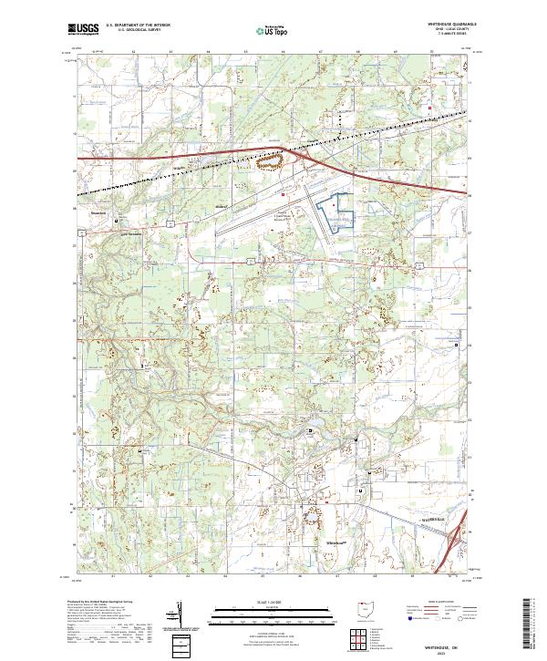
2023 Map of Whitehouse
USGS Topo · Published 2023About this map
Whitehouse and Waterville anchor the southern reaches of this Lucas County landscape, defined by a complex network of agricultural drainage systems. The terrain is crisscrossed by dozens of man-made waterways, including Wiregrass Ditch, Prairie Ditch, and Strong Ditch, which channel water toward Swan Creek. This managed hydrological pattern supports the small settlements of Wilkins, Garden, and Midway that dot the area surrounding the Eugene F. Kranz Toledo Express Airport.
Find a feature on this map
91 named features on this map. Tap any name to fly to it.
Don’t see what you’re looking for? This feature index may not catch every label — zoom into the map to look around manually.
Map Details
Editions of this 2023 Whitehouse Map
This is the sole edition of this map. No revisions or reprints were ever made.
Other maps of this area

1900 · Toledo
USGS Topo · 1:62,500

1901 · Bowling Green
USGS Topo · 1:62,500

1903 · Bowling Green
USGS Topo · 1:62,500

1909 · Mc Clure
USGS Topo · 1:62,500

1911 · Swanton
USGS Topo · 1:62,500

1914 · Swanton
USGS Topo · 1:62,500

1935 · Grand Rapids
USGS Topo · 1:24,000

1935 · Whitehouse
USGS Topo · 1:24,000

1935 · Maumee
USGS Topo · 1:24,000

1935 · Berkey
USGS Topo · 1:24,000