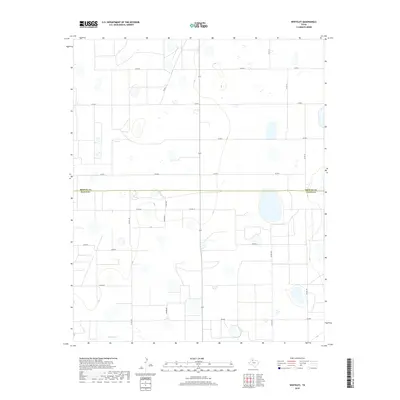
2019 Map of Whiteley
USGS Topo · Published 2019About this map
The high plains of the Texas Panhandle define this landscape, where the administrative boundary between Briscoe Co and Floyd Co runs across a largely agricultural expanse. The area is defined by its rectilinear grid of rural roads, including Co Rd D and Co Rd 199, which facilitate the movement of goods and people across this open terrain. Along the southern edge, the drainage of Quitaque Cr provides a subtle break in the topography, while a prominent Powerline and the route of Fm 689 indicate the modern infrastructure connecting these remote ranching and farming communities. The sparse distribution of named natural features emphasizes the systematic, human-imposed organization of the land for agricultural use.
Find a feature on this map
20 named features on this map. Tap any name to fly to it.
Don’t see what you’re looking for? This feature index may not catch every label — zoom into the map to look around manually.
Map Details
Editions of this 2019 Whiteley Map
This is the sole edition of this map. No revisions or reprints were ever made.
Other maps of this area

1954 · Plainview
USGS Topo · 1:250,000

1958 · Plainview
USGS Topo · 1:250,000

1965 · Whiteley
USGS Topo · 1:24,000

1965 · Silverton
USGS Topo · 1:24,000

1965 · Rock Creek
USGS Topo · 1:24,000

1965 · Silverton SW
USGS Topo · 1:24,000

1966 · Sterley
USGS Topo · 1:24,000

1966 · South Plains
USGS Topo · 1:24,000

1967 · Edgemon Lake
USGS Topo · 1:24,000

1967 · Hay Lake
USGS Topo · 1:24,000