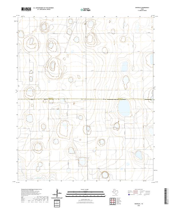
2022 Map of Whiteley
USGS Topo · Published 2022About this map
The High Plains of the Texas Panhandle define this landscape where the boundary between Briscoe Co and Floyd Co cuts across a grid of rural county roads. This modern survey illustrates a territory primarily structured for large-scale agricultural use, marked by numerous small depressions and drainage patterns that feed toward the southern portion of the sheet. In the southwest corner, the winding path of Quitaque Cr provides the primary natural relief in an otherwise strictly partitioned terrain. Infrastructure is characterized by a sparse but regular network of local roads such as FM 689 and a prominent Powerline corridor that bisects the central quadrangle. The lack of concentrated settlements highlights the enduring rural character of this region, where land management and water drainage remain the primary features of the physical and economic environment.
Find a feature on this map
20 named features on this map. Tap any name to fly to it.
Don’t see what you’re looking for? This feature index may not catch every label — zoom into the map to look around manually.
Map Details
Editions of this 2022 Whiteley Map
This is the sole edition of this map. No revisions or reprints were ever made.
Other maps of this area

1954 · Plainview
USGS Topo · 1:250,000

1958 · Plainview
USGS Topo · 1:250,000

1965 · Whiteley
USGS Topo · 1:24,000

1965 · Silverton
USGS Topo · 1:24,000

1965 · Rock Creek
USGS Topo · 1:24,000

1965 · Silverton SW
USGS Topo · 1:24,000

1966 · Sterley
USGS Topo · 1:24,000

1966 · South Plains
USGS Topo · 1:24,000

1967 · Edgemon Lake
USGS Topo · 1:24,000

1967 · Hay Lake
USGS Topo · 1:24,000