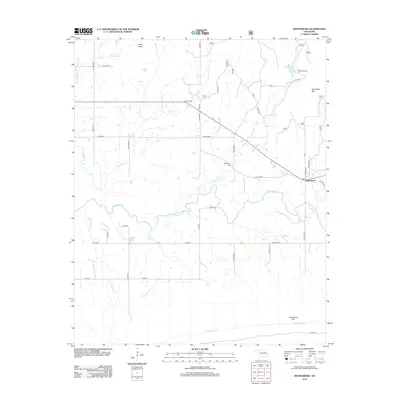
2012 Map of Whitesboro
USGS Topo · Published 2012About this map
Whitesboro serves as the primary hub of this eastern Oklahoma landscape, where the Kiamichi River winds through the valley floor. The settlement pattern is defined by rural road networks like Co RD-e1595 and Co RD-n4580 that connect the town to surrounding landmarks. Higher elevations are marked by prominent peaks including Chancellor Mtn to the east, Cedar Knob to the north, and Tombstone Mtn to the south, which overlook a series of small drainages such as Bohannon Cr and Frazier Cr.
Find a feature on this map
41 named features on this map. Tap any name to fly to it.
Don’t see what you’re looking for? This feature index may not catch every label — zoom into the map to look around manually.
Map Details
Editions of this 2012 Whitesboro Map
This is the sole edition of this map. No revisions or reprints were ever made.
Other maps of this area

1900 · Winding Stair
USGS Topo · 1:125,000

1901 · Tuskahoma
USGS Topo · 1:125,000

1908 · Tuskahoma
USGS Topo · 1:125,000

1909 · Tuskahoma
USGS Topo · 1:125,000

1909 · Winding Stair
USGS Topo · 1:125,000

1940 · Red Oak
USGS Topo · 1:62,500

1943 · Red Oak
USGS Topo · 1:62,500

1950 · Mcalester
USGS Topo · 1:250,000

1962 · McAlester
USGS Topo · 1:250,000

1965 · McAlester
USGS Topo · 1:250,000