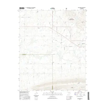
2016 Map of Whitesboro
USGS Topo · Published 2016About this map
Whitesboro serves as the primary settlement in this corner of Le Flore County, situated just north of the dramatic rise of the Kiamichi Mountain Ridge. The landscape is defined by the winding course of the Kiamichi River and its numerous tributaries, including Bohannon Cr and Frazier Cr, which drain the surrounding highlands. This 2016 survey captures the rural character of the area as it transitions from the valley floor into the dense woodlands of the Ouachita National Forest.
Find a feature on this map
53 named features on this map. Tap any name to fly to it.
Don’t see what you’re looking for? This feature index may not catch every label — zoom into the map to look around manually.
Map Details
Editions of this 2016 Whitesboro Map
This is the sole edition of this map. No revisions or reprints were ever made.
Other maps of this area

1900 · Winding Stair
USGS Topo · 1:125,000

1901 · Tuskahoma
USGS Topo · 1:125,000

1908 · Tuskahoma
USGS Topo · 1:125,000

1909 · Tuskahoma
USGS Topo · 1:125,000

1909 · Winding Stair
USGS Topo · 1:125,000

1940 · Red Oak
USGS Topo · 1:62,500

1943 · Red Oak
USGS Topo · 1:62,500

1950 · Mcalester
USGS Topo · 1:250,000

1962 · McAlester
USGS Topo · 1:250,000

1965 · McAlester
USGS Topo · 1:250,000