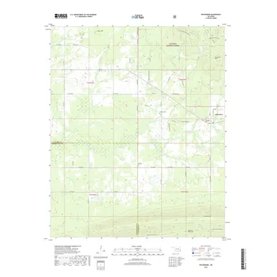
2019 Map of Whitesboro
USGS Topo · Published 2019About this map
Whitesboro sits at the foot of the Kiamichi Mountains in Le Flore County, where the valley floor transitions into the protected timberlands of the Ouachita National Forest. This landscape is defined by the sharp rise of the Kiamichi Mountain Ridge and Tombstone Mtn to the south, while the northern terrain is broken by peaks like Chancellor Mtn and Cedar Knob. The area is densely threaded with watercourses, including the Kiamichi River and Bohannon Cr, which feeds into Bohannon Lake. Local history is anchored by several burial grounds, such as Whitesboro Cem and Prairie Grove Cem, as well as the Choctaw Nation Trail crossing the forest's northern reaches. A network of rural roads like Flag Lake Rd and Frazier Creek Rd connects scattered residences across this ridge-and-valley terrain.
Find a feature on this map
96 named features on this map. Tap any name to fly to it.
Don’t see what you’re looking for? This feature index may not catch every label — zoom into the map to look around manually.
Map Details
Editions of this 2019 Whitesboro Map
This is the sole edition of this map. No revisions or reprints were ever made.
Other maps of this area

1900 · Winding Stair
USGS Topo · 1:125,000

1901 · Tuskahoma
USGS Topo · 1:125,000

1908 · Tuskahoma
USGS Topo · 1:125,000

1909 · Tuskahoma
USGS Topo · 1:125,000

1909 · Winding Stair
USGS Topo · 1:125,000

1940 · Red Oak
USGS Topo · 1:62,500

1943 · Red Oak
USGS Topo · 1:62,500

1950 · Mcalester
USGS Topo · 1:250,000

1962 · McAlester
USGS Topo · 1:250,000

1965 · McAlester
USGS Topo · 1:250,000