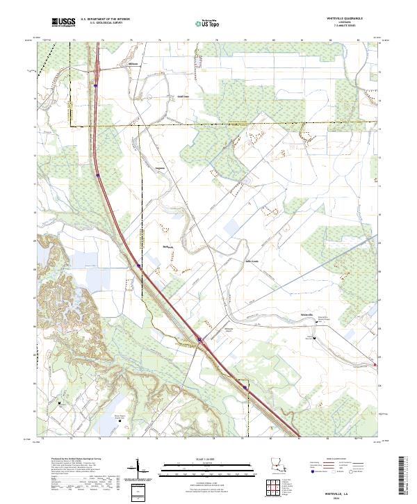
2024 Map of Whiteville
USGS Topo · Published 2024About this map
Bayou Cocodrie and Bayou Boeuf define the drainage and settlement patterns of this corridor along the border of St. Landry, Evangeline, and Avoyelles Parishes. The landscape is a network of agricultural plots and small communities like Whiteville, Barbreck, and Gold Dust, many connected by local routes such as Cane Brake and WPA Rd. This modern survey illustrates the persistent importance of water-bound boundaries and rural aviation, anchored by the Whiteville Airport.
Find a feature on this map
64 named features on this map. Tap any name to fly to it.
Don’t see what you’re looking for? This feature index may not catch every label — zoom into the map to look around manually.
Map Details
Editions of this 2024 Whiteville Map
This is the sole edition of this map. No revisions or reprints were ever made.
Other maps of this area

1935 · Turkey Creek
USGS Topo · 1:62,500

1939 · Opelousas
USGS Topo · 1:62,500

1947 · Ville Platte
USGS Topo · 1:31,680

1948 · Bunkie
USGS Topo · 1:62,500

1949 · Turkey Creek
USGS Topo · 1:62,500

1952 · Lake Charles
USGS Topo · 1:250,000

1954 · Lake Charles
USGS Topo · 1:250,000

1956 · Opelousas
USGS Topo · 1:62,500

1957 · Opelousas
USGS Topo · 1:62,500
1960 · Ville Platte
USGS Topo · 1:62,500