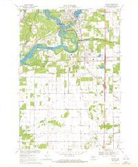
1970 Map of Whiting
USGS Topo · Published 1972About this map
The Wisconsin River dominates the western half of this Portage County landscape, weaving around Fields Island and passing the industrial infrastructure of the local Powerplant. To the north, the southern edge of Stevens Point transitions into the village of Whiting, where residential neighborhoods surround McDill Pond and the River Pines Sanatorium. The area is a study in mid-century civic development, showing the expansion of Plover and its grid of named streets like Prairie Drive and Birch Street.
Find a feature on this map
52 named features on this map. Tap any name to fly to it.
Don’t see what you’re looking for? This feature index may not catch every label — zoom into the map to look around manually.
Map Details
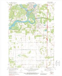
Editions of this 1970 Whiting Map
2 editions found
Other maps of this area

1955 · Rosholt
USGS Topo · 1:48,000

1955 · Green Bay
USGS Topo · 1:250,000

1956 · Stevens Point
USGS Topo · 1:48,000

1957 · Amherst
USGS Topo · 1:48,000

1957 · Whiting
USGS Topo · 1:48,000

1969 · Arnott
USGS Topo · 1:24,000
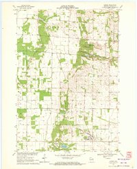
1969 · Almond
USGS Topo · 1:24,000
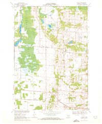
1969 · Polonia
USGS Topo · 1:24,000

1970 · Kellner
USGS Topo · 1:24,000

1970 · Stevens Point
USGS Topo · 1:24,000