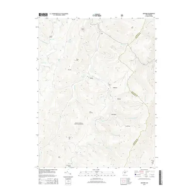
2014 Map of Whitmer
USGS Topo · Published 2014About this map
Whitmer and the surrounding high-country settlements of the Monongahela National Forest are defined by the narrow drainage of the Dry Fork and its numerous mountain tributaries. This 2014 survey captures a landscape where small communities like Job, Horton, and Gandy are deeply integrated into the topography of Rich Mountain and the Randolph and Pendleton County border. The map reveals a reliance on natural water sources, evidenced by several named springs such as William Armentrout Spring, Snyder Spring, and Mary Elza Spring.
Find a feature on this map
51 named features on this map. Tap any name to fly to it.
Don’t see what you’re looking for? This feature index may not catch every label — zoom into the map to look around manually.
Map Details
Editions of this 2014 Whitmer Map
This is the sole edition of this map. No revisions or reprints were ever made.
Other maps of this area

1889 · Beverly
USGS Topo · 1:125,000

1892 · Beverly
USGS Topo · 1:125,000

1892 · Franklin
USGS Topo · 1:125,000

1896 · Franklin
USGS Topo · 1:125,000
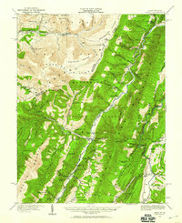
1920 · Onego
USGS Topo · 1:62,500
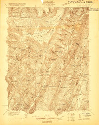
1921 · Onego
USGS Topo · 1:48,000
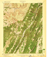
1922 · Onego
USGS Topo · 1:62,500
1922 · Horton
USGS Topo · 1:48,000
1922 · Spruce Knob
USGS Topo · 1:48,000
1922 · Circleville
USGS Topo · 1:62,500