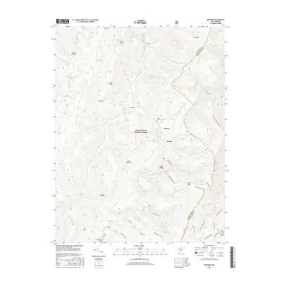
2016 Map of Whitmer
USGS Topo · Published 2016About this map
Whitmer and Horton sit along the winding course of Dry Fork and Gandy Creek in this modern topographic study of the Randolph and Pendleton county line. The landscape is defined by the high elevations of the Monongahela National Forest, where named peaks like Job Knob and Rich Mtn overlook a network of backcountry paths including the Allegheny Mountain Trail and Seneca Creek Trail. Local history is preserved in the location of the Laurel Hill Cem and the small settlements of Job and Gandy. The map reveals a complex terrain of high ridges and deep hollows, such as Lee Bennett Hollow and Lambert Hollow, which have historically shaped the small communities and grazing lands of this Appalachian region. Water sources like William Armentrout Spring and Mary Elza Spring are specifically marked, highlighting the importance of natural springs to these mountain locations.
Find a feature on this map
55 named features on this map. Tap any name to fly to it.
Don’t see what you’re looking for? This feature index may not catch every label — zoom into the map to look around manually.
Map Details
Editions of this 2016 Whitmer Map
This is the sole edition of this map. No revisions or reprints were ever made.
Other maps of this area

1889 · Beverly
USGS Topo · 1:125,000

1892 · Beverly
USGS Topo · 1:125,000

1892 · Franklin
USGS Topo · 1:125,000

1896 · Franklin
USGS Topo · 1:125,000

1920 · Onego
USGS Topo · 1:62,500

1921 · Onego
USGS Topo · 1:48,000

1922 · Onego
USGS Topo · 1:62,500

1922 · Horton
USGS Topo · 1:48,000

1922 · Spruce Knob
USGS Topo · 1:48,000

1922 · Circleville
USGS Topo · 1:62,500