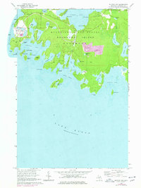
1964 Map of Whitney Bay
USGS Topo · Published 1978About this map
Drummond Island anchors this coastal survey, revealing a landscape defined by the intersection of forest, quarrying, and military history. The site of Old Fort Drummond stands near the western shore, offering a tangible link to British occupation in the early 19th century. To the south and east, the shoreline of Whitney Bay and Huron Bay is fractured into numerous inlets and islands, including Arnold Island and the substantial Espanore Island.
Find a feature on this map
52 named features on this map. Tap any name to fly to it.
Don’t see what you’re looking for? This feature index may not catch every label — zoom into the map to look around manually.
Map Details
Editions of this 1964 Whitney Bay Map
3 editions found
Other maps of this area

1954 · Alpena
USGS Topo · 1:250,000

1957 · Alpena
USGS Topo · 1:250,000

1958 · Alpena
USGS Topo · 1:250,000

1961 · Blind River
USGS Topo · 1:250,000
1964 · De Tour Village
USGS Topo · 1:24,000

1964 · Drummond
USGS Topo · 1:24,000
1964 · Whitney Bay
USGS Topo · 1:24,000
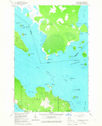
1964 · Lime Island
USGS Topo · 1:24,000

1964 · Meade Island
USGS Topo · 1:24,000
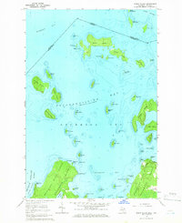
1964 · Burnt Island
USGS Topo · 1:24,000