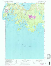
1964 Map of Whitney Bay
USGS Topo · Published 1978About this map
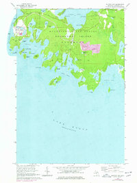
Drummond Island anchors this coastal survey, where the rugged shoreline of Lake Huron meets a complex network of bays, harbors, and interior wetlands. The landscape is defined by the Munuscong State Forest and a series of family-named lakes, such as Kempainen Lake and Isaacson Lake, which reflect the area's local history and settlement patterns. Historical significance is marked by the presence of Old Fort Drummond and an adjacent Cem near the shores of Whitney Bay, while industrial activity is evident in the large Quarry operations near the center of the island and overlooking Detour Passage. Numerous offshore features like Espanore Island and Gravel Island illustrate the island's fragmented southern coast, where timber and stone resources historically drove the local maritime economy.
Find a feature on this map
51 named features on this map. Tap any name to fly to it.
Don’t see what you’re looking for? This feature index may not catch every label — zoom into the map to look around manually.
Map Details
Editions of this 1964 Whitney Bay Map
3 editions found
Other maps of this area

1954 · Alpena
USGS Topo · 1:250,000

1957 · Alpena
USGS Topo · 1:250,000

1958 · Alpena
USGS Topo · 1:250,000

1961 · Blind River
USGS Topo · 1:250,000
1964 · De Tour Village
USGS Topo · 1:24,000

1964 · Drummond
USGS Topo · 1:24,000
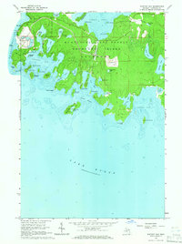
1964 · Whitney Bay
USGS Topo · 1:24,000
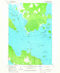
1964 · Lime Island
USGS Topo · 1:24,000

1964 · Meade Island
USGS Topo · 1:24,000
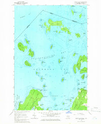
1964 · Burnt Island
USGS Topo · 1:24,000