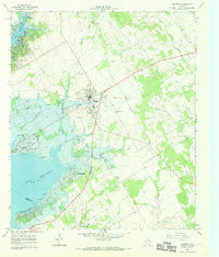
1966 Map of Whitney
USGS Topo · Published 1969About this map
Whitney stands as the central hub of this mid-1960s survey, surrounded by a landscape increasingly defined by the presence of Lake Whitney. To the west, the shoreline is shaped by recreation and conservation at Lake Whitney State Park, while the eastern terrain remains predominantly rural, marked by old family burial grounds like Bethlehem Cem and Yates Cem. The map captures a moment of transition where the Old Railroad Grade marks a former transport corridor, now superseded by local road networks.
Find a feature on this map
37 named features on this map. Tap any name to fly to it.
Don’t see what you’re looking for? This feature index may not catch every label — zoom into the map to look around manually.
Map Details
Editions of this 1966 Whitney Map
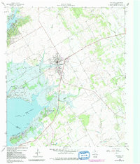
2 editions found
Other maps of this area

1891 · Cleburne
USGS Topo · 1:125,000

1892 · Waco
USGS Topo · 1:125,000

1894 · Cleburne
USGS Topo · 1:125,000

1920 · Waco
USGS Topo · 1:125,000

1924 · Waco 2-b
USGS Topo · 1:48,000

1924 · Cleburne 3-C
USGS Topo · 1:48,000

1927 · Blum
USGS Topo · 1:62,500

1931 · Whitney
USGS Topo · 1:62,500

1954 · Dallas
USGS Topo · 1:250,000

1954 · Waco
USGS Topo · 1:250,000