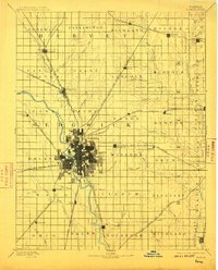
1894 Map of Wichita
USGS Topo · Published 1910About this map
Wichita sits at the confluence of the Little Arkansas River and the Arkansas River, serving as the dominant hub for a rapidly expanding rail network in late 19th-century Kansas. The city's grid-like development is already well-established by 1888, surrounded by peripheral settlements like Manchester, Indianola, and Oatville. This survey illustrates a landscape defined by the arrival of the Atchison Topeka and Santa Fe Railroad and the Missouri Pacific Railroad, which connect the urban core to outlying agricultural townships like Waco and Minneha. Beyond the city limits, the terrain is shaped by the Big Slough and various branches of Chisholm Creek, while the eastern edge of the quadrangle is marked by the Walnut River. The intricate township boundaries, such as Richland and Gypsum, reflect the systematic division of the Kansas prairie during this era of intensive settlement and industrial growth.
Find a feature on this map
78 named features on this map. Tap any name to fly to it.
Don’t see what you’re looking for? This feature index may not catch every label — zoom into the map to look around manually.
Map Details
Editions of this 1894 Wichita Map
5 editions found

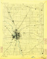
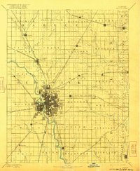
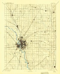
Other maps of this area

1888 · Eldorado
USGS Topo · 1:125,000

1889 · Newton
USGS Topo · 1:125,000

1889 · Burden
USGS Topo · 1:125,000

1889 · Cheney
USGS Topo · 1:125,000

1889 · Wichita
USGS Topo · 1:125,000

1889 · Caldwell
USGS Topo · 1:125,000

1890 · Wellington
USGS Topo · 1:125,000

1891 · Hutchinson
USGS Topo · 1:125,000

1891 · Cheney
USGS Topo · 1:125,000

1893 · Caldwell
USGS Topo · 1:125,000