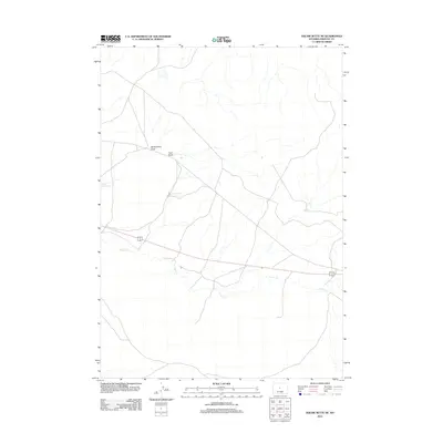
2012 Map of Wickersham Draw
USGS Topo · Published 2012About this map
Poison Cr meanders through this section of Fremont County, carving a low-lying drainage across a landscape defined by intermittent water sources and ranching infrastructure. The area’s reliance on managed water is evident in features like Dinty Moore Reservoir and Ocla Reservoir, which provide critical collection points for the seasonal runoff flowing through the network of arroyos. Two prominent natural drainage features, Wickersham Draw and Coal Draw, converge in the northern portion of the quadrangle, illustrating the complex hydrological patterns of the Wyoming basin. This 2012 survey captures the modern road network and land divisions that overlay a traditionally remote and arid terrain.
Find a feature on this map
5 named features on this map. Tap any name to fly to it.
Don’t see what you’re looking for? This feature index may not catch every label — zoom into the map to look around manually.
Map Details
Editions of this 2012 Wickersham Draw Map
This is the sole edition of this map. No revisions or reprints were ever made.
Other maps of this area

1952 · Seventy-one Reservoir
USGS Topo · 1:24,000

1952 · Squaw Butte NE
USGS Topo · 1:24,000

1952 · Squaw Butte
USGS Topo · 1:24,000

1952 · Ocla Draw
USGS Topo · 1:24,000

1952 · Gates Butte
USGS Topo · 1:24,000

1952 · Moneta
USGS Topo · 1:24,000

1952 · Picard Ranch
USGS Topo · 1:24,000

1952 · Lysite
USGS Topo · 1:24,000

1952 · Haybarn Hill
USGS Topo · 1:24,000

1955 · Arminto
USGS Topo · 1:250,000