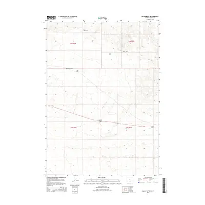
2015 Map of Wickersham Draw
USGS Topo · Published 2015About this map
Poison Cr meanders across this high plains landscape in Fremont County, providing a critical hydrological focal point for a region defined by its drainage patterns. The terrain is marked by a series of significant erosional features including Wickersham Draw, Coal Draw, and Gates Draw, which carve through the arid topography. These geographic identifiers suggest a history of seasonal water flow and mineral prospecting, particularly with the naming of Coal Draw in the central portion of the survey area.
Find a feature on this map
12 named features on this map. Tap any name to fly to it.
Don’t see what you’re looking for? This feature index may not catch every label — zoom into the map to look around manually.
Map Details
Editions of this 2015 Wickersham Draw Map
This is the sole edition of this map. No revisions or reprints were ever made.
Other maps of this area

1952 · Seventy-one Reservoir
USGS Topo · 1:24,000

1952 · Squaw Butte NE
USGS Topo · 1:24,000

1952 · Squaw Butte
USGS Topo · 1:24,000

1952 · Ocla Draw
USGS Topo · 1:24,000

1952 · Gates Butte
USGS Topo · 1:24,000

1952 · Moneta
USGS Topo · 1:24,000

1952 · Picard Ranch
USGS Topo · 1:24,000

1952 · Lysite
USGS Topo · 1:24,000

1952 · Haybarn Hill
USGS Topo · 1:24,000

1955 · Arminto
USGS Topo · 1:250,000