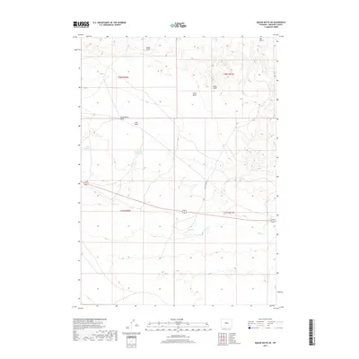
2017 Map of Wickersham Draw
USGS Topo · Published 2017About this map
Wickersham Draw and the surrounding drainage basins of Fremont County define this high plains landscape as documented in 2017. The map highlights a series of named water management features essential for local agriculture and livestock, including Ocla Reservoir and Dinty Moore Reservoir. These basins collect seasonal runoff from numerous landform depressions such as Gibbs Draw, Gates Draw, and Fuller Gulch, which feed into larger systems like Poison Cr.
Find a feature on this map
14 named features on this map. Tap any name to fly to it.
Don’t see what you’re looking for? This feature index may not catch every label — zoom into the map to look around manually.
Map Details
Editions of this 2017 Wickersham Draw Map
This is the sole edition of this map. No revisions or reprints were ever made.
Other maps of this area

1952 · Seventy-one Reservoir
USGS Topo · 1:24,000

1952 · Squaw Butte NE
USGS Topo · 1:24,000

1952 · Squaw Butte
USGS Topo · 1:24,000

1952 · Ocla Draw
USGS Topo · 1:24,000

1952 · Gates Butte
USGS Topo · 1:24,000

1952 · Moneta
USGS Topo · 1:24,000

1952 · Picard Ranch
USGS Topo · 1:24,000

1952 · Lysite
USGS Topo · 1:24,000

1952 · Haybarn Hill
USGS Topo · 1:24,000

1955 · Arminto
USGS Topo · 1:250,000