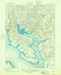
1914 Map of Wicomico
USGS Topo · Published 1947About this map
The Wicomico River and its expansive tributaries define this landscape at the turn of the century, where the waterways of Southern Maryland served as the primary arteries for commerce and travel. This survey, based on work by Henry Gannett and Gilbert Thompson, illustrates a Tidewater region deeply connected to the river through points like Ludlow Ferry and Bushwood Wharf. The arrival of the Philadelphia Washington and Baltimore RR through Faulkner and Popes Creek signaled a shift toward rail transport, even as rural life centered on established landings and settlements like Charlotte Hall and Newport. Large natural features such as Zekiah Swamp and the broad Potomac River frame the topography, while numerous family-named landmarks and smaller creeks like Dolly Boarman Cr. and Piccowaxen Creek provide essential detail for local historians tracing early 20th-century property and community boundaries.
Find a feature on this map
69 named features on this map. Tap any name to fly to it.
Don’t see what you’re looking for? This feature index may not catch every label — zoom into the map to look around manually.
Map Details
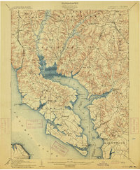
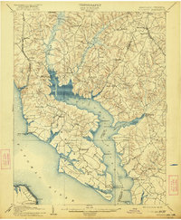
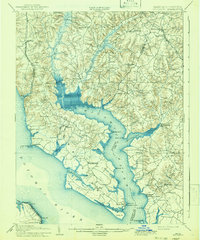
Editions of this 1914 Wicomico Map
4 editions found
Other maps of this area

1889 · Fredericksburg
USGS Topo · 1:125,000

1890 · Mt. Vernon
USGS Topo · 1:125,000

1891 · Mt. Vernon
USGS Topo · 1:125,000

1892 · Leonardtown
USGS Topo · 1:62,500

1892 · Fredericksburg
USGS Topo · 1:125,000

1892 · Prince Frederick
USGS Topo · 1:62,500

1892 · Brandywine
USGS Topo · 1:62,500

1892 · Piney Point
USGS Topo · 1:62,500

1892 · Montross
USGS Topo · 1:62,500

1894 · Wicomico
USGS Topo · 1:62,500