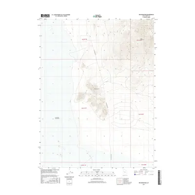
2017 Map of Wig Mountain
USGS Topo · Published 2017About this map
Wig Mountain rises prominently from the floor of the Great Salt Lake Desert in this Tooele County landscape. The area is characterized by isolated topographic features surrounded by expansive alkali flats, showing the stark transition between the peaks and the desert floor. To the northeast, the foothills of the Cedar Mountains enter the frame, while the lone passage of N Wig Mountain Rd provides the primary transit route through this arid terrain. This 2017 survey details the township and range boundaries that grid the desert, including t6s r11w and t5s r10w, illustrating the geometric division of a largely uninhabited expanse.
Find a feature on this map
10 named features on this map. Tap any name to fly to it.
Don’t see what you’re looking for? This feature index may not catch every label — zoom into the map to look around manually.
Map Details
Editions of this 2017 Wig Mountain Map
This is the sole edition of this map. No revisions or reprints were ever made.
Other maps of this area

1885 · Tooele Valley
USGS Topo · 1:250,000

1953 · Tooele
USGS Topo · 1:250,000

1954 · Wig Mtn SW
USGS Topo · 1:24,000

1954 · Dugway Proving Ground NE
USGS Topo · 1:24,000

1954 · Camels Back Ridge NW
USGS Topo · 1:24,000

1954 · Dugway Proving Ground NW
USGS Topo · 1:24,000

1954 · Wig Mtn NW
USGS Topo · 1:24,000

1955 · Tabbys Peak
USGS Topo · 1:24,000

1955 · Wig Mtn
USGS Topo · 1:24,000

1955 · Wig Mtn NE
USGS Topo · 1:24,000