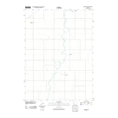
2010 Map of Wightman
USGS Topo · Published 2010About this map
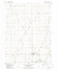
Cedar Creek meanders through this agricultural landscape in Greene County, carving a winding path through the central and southern portions of the territory. The settlement of Wightman is situated in the northwest, near the upper reaches of Purgatory Creek. This area of Highland Township preserves a significant genealogical record through its distributed burial grounds. Evergreen Cemetery sits to the north, while Old Cedar Cemetery and Saint Patricks Cemetery are positioned further south along the creek valley. The map illustrates a highly organized section-line road grid characteristic of the Iowa plains, where small rural communities and local parishes served as the primary social anchors for a dispersed farming population.
Find a feature on this map
6 named features on this map. Tap any name to fly to it.
Don’t see what you’re looking for? This feature index may not catch every label — zoom into the map to look around manually.
Map Details
Editions of this 2010 Wightman Map
This is the sole edition of this map. No revisions or reprints were ever made.
Other maps of this area

1954 · Fort Dodge
USGS Topo · 1:250,000

1957 · Fort Dodge
USGS Topo · 1:250,000

1958 · Fort Dodge
USGS Topo · 1:250,000

1962 · Jefferson
USGS Topo · 1:62,500

1965 · Farnhamville
USGS Topo · 1:24,000
1980 · Glidden
USGS Topo · 1:24,000

1980 · Wightman
USGS Topo · 1:24,000
1980 · Scranton
USGS Topo · 1:24,000
1980 · Lanesboro
USGS Topo · 1:24,000
1980 · Lohrville
USGS Topo · 1:24,000