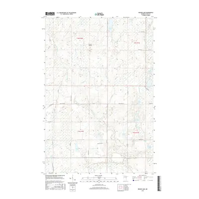
2016 Map of Wilbur Lake
USGS Topo · Published 2016About this map
Wilbur Lake and the marshy expanses of east-central Minnesota define this landscape within the St. Croix River watershed. This interior portion of Pine County is a dense network of glacial water bodies and wetlands, where the Lower Tamarack River and Thunder Cr snake through low-lying terrain. The map reveals a high concentration of small, named lakes like Chain Lakes, Buck Lake, and Kenney Lake, which appear connected by a complex system of brooks and seasonal drainages.
Find a feature on this map
48 named features on this map. Tap any name to fly to it.
Don’t see what you’re looking for? This feature index may not catch every label — zoom into the map to look around manually.
Map Details
Editions of this 2016 Wilbur Lake Map
This is the sole edition of this map. No revisions or reprints were ever made.
Other maps of this area

1949 · Danbury
USGS Topo · 1:48,000

1950 · Webster
USGS Topo · 1:48,000

1950 · Grantsburg
USGS Topo · 1:48,000

1953 · Duluth
USGS Topo · 1:250,000

1953 · Stillwater
USGS Topo · 1:250,000

1955 · Webster
USGS Topo · 1:62,500

1955 · Stillwater
USGS Topo · 1:250,000

1958 · Stillwater
USGS Topo · 1:250,000

1958 · Duluth
USGS Topo · 1:250,000

1962 · Cloverdale
USGS Topo · 1:62,500