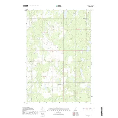
2019 Map of Wilbur Lake
USGS Topo · Published 2019About this map
Wilbur Lake and its surrounding wetlands define this corner of Pine County, where a complex network of glacial lakes and slow-moving brooks creates a distinct hydrological pattern. The area is characterized by low-lying terrain such as Thunder Meadow, positioned between the drainage of Thunder Cr and the various forks of Crooked Cr. Local transport is facilitated by a grid of rural routes including Barnes Spring Rd and Crooked Creek Rd, which provide access to scattered lakefront developments and natural clearings.
Find a feature on this map
47 named features on this map. Tap any name to fly to it.
Don’t see what you’re looking for? This feature index may not catch every label — zoom into the map to look around manually.
Map Details
Editions of this 2019 Wilbur Lake Map
This is the sole edition of this map. No revisions or reprints were ever made.
Other maps of this area

1949 · Danbury
USGS Topo · 1:48,000

1950 · Webster
USGS Topo · 1:48,000

1950 · Grantsburg
USGS Topo · 1:48,000

1953 · Duluth
USGS Topo · 1:250,000

1953 · Stillwater
USGS Topo · 1:250,000

1955 · Webster
USGS Topo · 1:62,500

1955 · Stillwater
USGS Topo · 1:250,000

1958 · Stillwater
USGS Topo · 1:250,000

1958 · Duluth
USGS Topo · 1:250,000

1962 · Cloverdale
USGS Topo · 1:62,500