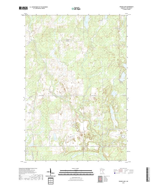
2022 Map of Wilbur Lake
USGS Topo · Published 2022About this map
Thunder Meadow and the surrounding Pine County wetlands dominate this portion of the Minnesota landscape, where a dense network of water bodies and seasonal drainage systems defines the terrain. The hydrography is characterized by the W Fork Crooked Cr and E Fork Crooked Cr, which feed into numerous named basins including Buck Lake and the Chain Lakes. This modern survey illustrates a remote region largely dedicated to recreation and conservation, evidenced by the Snowmobile Trl and the inclusion of St Croix Park Rd (Co Rd 22) at the southern edge. Pockets of naming, such as McGowan Lake and Kenney Lake, hint at localized landmarks or family histories within the sprawling wet-meadow ecosystem that feeds the Lower Tamarack River.
Find a feature on this map
47 named features on this map. Tap any name to fly to it.
Don’t see what you’re looking for? This feature index may not catch every label — zoom into the map to look around manually.
Map Details
Editions of this 2022 Wilbur Lake Map
This is the sole edition of this map. No revisions or reprints were ever made.
Other maps of this area

1949 · Danbury
USGS Topo · 1:48,000

1950 · Webster
USGS Topo · 1:48,000

1950 · Grantsburg
USGS Topo · 1:48,000

1953 · Duluth
USGS Topo · 1:250,000

1953 · Stillwater
USGS Topo · 1:250,000

1955 · Webster
USGS Topo · 1:62,500

1955 · Stillwater
USGS Topo · 1:250,000

1958 · Stillwater
USGS Topo · 1:250,000

1958 · Duluth
USGS Topo · 1:250,000

1962 · Cloverdale
USGS Topo · 1:62,500