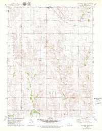
1979 Map of Wild Horse Creek
USGS Topo · Published 1979About this map
The Union Pacific railroad cuts through the northern landscape near the community of Palco, serving as a vital corridor for the region's agricultural and industrial output in the late 1970s. This survey reveals a terrain defined by extensive petroleum extraction, with the Cooper Oil Field, Marcotte Oil Field, and Trico Oil Field spanning the hills between the Wild Horse Creek and Tomcat Creek drainages.
Find a feature on this map
26 named features on this map. Tap any name to fly to it.
Don’t see what you’re looking for? This feature index may not catch every label — zoom into the map to look around manually.
Map Details
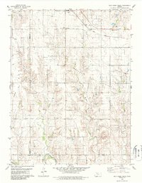
Editions of this 1979 Wild Horse Creek Map
2 editions found
Other maps of this area

1893 · Hill
USGS Topo · 1:125,000

1896 · Plainville
USGS Topo · 1:125,000

1955 · Beloit
USGS Topo · 1:250,000

1959 · Beloit
USGS Topo · 1:250,000
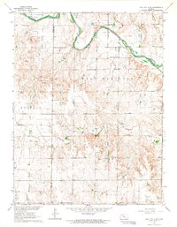
1963 · Hill City 4 SE
USGS Topo · 1:24,000
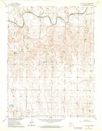
1963 · Hill City 4 SW
USGS Topo · 1:24,000

1969 · Palco
USGS Topo · 1:24,000

1969 · Stockton SW
USGS Topo · 1:24,000
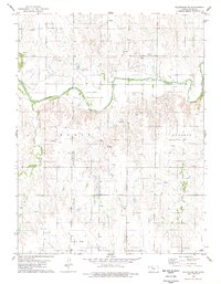
1978 · Plainville SW
USGS Topo · 1:24,000
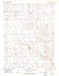
1978 · Zurich
USGS Topo · 1:24,000