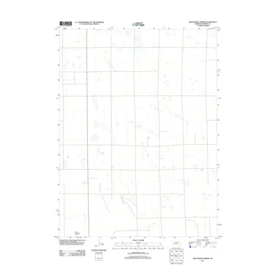
2011 Map of Wild Horse Spring
USGS Topo · Published 2011About this map
Wild Horse Spring lies at the heart of this high plains landscape in Perkins County, where the terrain is defined by the subtle depressions and ephemeral water features characteristic of Nebraska’s western sandhills and tablelands. The grid of section lines and local roads organizes the agricultural expanse, leading south toward the outskirts of the county seat. This 2011 survey by the U.S. Geological Survey records the modern infrastructure of the region, anchored by the Grant Municipal Airport in the southwest corner. The sparse distribution of named features underscores the rural nature of the area, emphasizing its reliance on groundwater and the systematic division of land for ranching and farming operations.
Find a feature on this map
2 named features on this map. Tap any name to fly to it.
Don’t see what you’re looking for? This feature index may not catch every label — zoom into the map to look around manually.
Map Details
Editions of this 2011 Wild Horse Spring Map
This is the sole edition of this map. No revisions or reprints were ever made.
Other maps of this area

1897 · Ogallala
USGS Topo · 1:125,000

1900 · Ogallala
USGS Topo · 1:125,000

1954 · McCook
USGS Topo · 1:250,000

1954 · North Platte
USGS Topo · 1:250,000

1956 · North Platte
USGS Topo · 1:250,000

1957 · North Platte
USGS Topo · 1:250,000

1957 · McCook
USGS Topo · 1:250,000

1958 · McCook
USGS Topo · 1:250,000

1961 · Brandon NE
USGS Topo · 1:24,000

1961 · Brandon SE
USGS Topo · 1:24,000