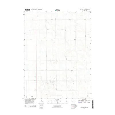
2014 Map of Wild Horse Spring
USGS Topo · Published 2014About this map
Wild Horse Spring lies at the heart of this High Plains landscape, a vital water source in the western Nebraska sandhills and tablelands. The map reveals the strictly organized section-line road grid characteristic of the region's agricultural development, with routes like Road 770 and Road 331 traversing the open terrain. This 2014 survey documents the modern layout of the area north of the county seat, including the Grant Municipal Airport in the southwest corner. The topography is defined by the subtle drainage of Roscoe Draw, illustrating how the natural hydrology interacts with the modern infrastructure and transportation network of Perkins County.
Find a feature on this map
16 named features on this map. Tap any name to fly to it.
Don’t see what you’re looking for? This feature index may not catch every label — zoom into the map to look around manually.
Map Details
Editions of this 2014 Wild Horse Spring Map
This is the sole edition of this map. No revisions or reprints were ever made.
Other maps of this area

1897 · Ogallala
USGS Topo · 1:125,000

1900 · Ogallala
USGS Topo · 1:125,000

1954 · McCook
USGS Topo · 1:250,000

1954 · North Platte
USGS Topo · 1:250,000

1956 · North Platte
USGS Topo · 1:250,000

1957 · North Platte
USGS Topo · 1:250,000

1957 · McCook
USGS Topo · 1:250,000

1958 · McCook
USGS Topo · 1:250,000

1961 · Brandon NE
USGS Topo · 1:24,000

1961 · Brandon SE
USGS Topo · 1:24,000