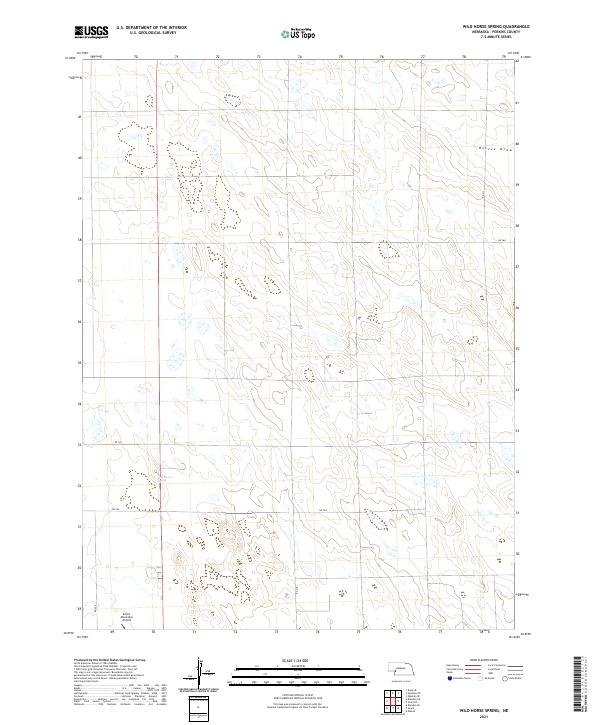
2021 Map of Wild Horse Spring
USGS Topo · Published 2021About this map
Wild Horse Spring provides a rare water source within this corner of Perkins County, centered in a landscape of rolling terrain and agricultural section lines. The map captures the infrastructure of the High Plains in the early 21st century, dominated by a grid of rural routes including RD 764 and RD 765. The southwestern corner of the quadrangle is anchored by the Grant Municipal Airport, reflecting the importance of aerial connectivity in this expansive region. To the northeast, the natural topography is defined by the drainage patterns of Roscoe Draw, which cuts through the township lines of T12N R38W and T12N R39W. This survey illustrates the precise organization of the Public Land Survey System, showing how the rural road network strictly adheres to the established section boundaries of the Nebraska panhandle.
Find a feature on this map
13 named features on this map. Tap any name to fly to it.
Don’t see what you’re looking for? This feature index may not catch every label — zoom into the map to look around manually.
Map Details
Editions of this 2021 Wild Horse Spring Map
This is the sole edition of this map. No revisions or reprints were ever made.
Other maps of this area

1897 · Ogallala
USGS Topo · 1:125,000

1900 · Ogallala
USGS Topo · 1:125,000

1954 · McCook
USGS Topo · 1:250,000

1954 · North Platte
USGS Topo · 1:250,000

1956 · North Platte
USGS Topo · 1:250,000

1957 · North Platte
USGS Topo · 1:250,000

1957 · McCook
USGS Topo · 1:250,000

1958 · McCook
USGS Topo · 1:250,000

1961 · Brandon NE
USGS Topo · 1:24,000

1961 · Brandon SE
USGS Topo · 1:24,000