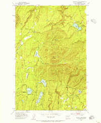
1953 Map of Wildcat Lake
USGS Topo · Published 1955About this map
Gold Mountain and Green Mtn anchor the high ground of the Kitsap Peninsula in this early 1950s survey, where the landscape is defined by its drainage basins and isolated settlements. Small communities like Camp Union, Hite Center, and Crosby are scattered along the western slopes, connected by the Tin Mine Road and Elfendale Pass Road. The hydrology is remarkably complex, featuring a series of glacial lakes including Wildcat Lake, Mission Lake, and Tahuya Lake that feed the Tahuya River and Big Beef Creek. This era reveals a working landscape of resource extraction and recreation, evidenced by several quarries, the Barney White Ranch, and a Boy Scout Camp near McCaslin Marsh. The presence of the Navy Yard City Canal and the Belfair Siding near the southern border highlights the importance of regional transportation and infrastructure to these interior Kitsap communities.
Find a feature on this map
36 named features on this map. Tap any name to fly to it.
Don’t see what you’re looking for? This feature index may not catch every label — zoom into the map to look around manually.
Map Details
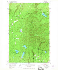
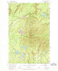
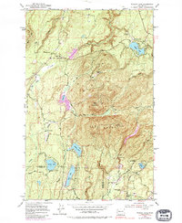
Editions of this 1953 Wildcat Lake Map
4 editions found
Other maps of this area

1936 · Point Misery
USGS Topo · 1:62,500

1937 · Port Orchard
USGS Topo · 1:62,500

1938 · Allyn
USGS Topo · 1:62,500

1940 · Point Misery
USGS Topo · 1:62,500

1942 · Gig Harbor
USGS Topo · 1:62,500

1943 · Gig Harbor
USGS Topo · 1:62,500

1953 · Seabeck
USGS Topo · 1:24,000

1953 · Poulsbo
USGS Topo · 1:24,000

1953 · Burley
USGS Topo · 1:24,000

1953 · Bremerton West
USGS Topo · 1:24,000