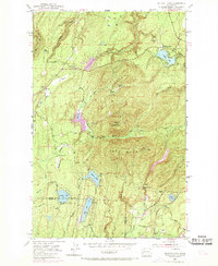
1953 Map of Wildcat Lake
USGS Topo · Published 1969About this map
The ridge of Gold Mountain and the high summit of Green Mtn dominate this 1953 landscape, which captures a transition from industrial activity to recreation in Kitsap and Mason Counties. The map reveals a cluster of small settlements including Hite Center, Camp Union, and Crosby, alongside established family landmarks like the Barney White Ranch. Resource extraction is evident at the Tin Mine and various quarries, while the presence of the Union River Reservoir and numerous gaging stations highlights the management of the local watershed. Revisions made in 1968, noted in purple, document the post-war development of the area, including the Leisureland Air Park and Belfair Airport. Local social and recreational life is anchored by the Boy Scout Camp near McCaslin Marsh and the Gun Club near the eastern edge of the survey.
Find a feature on this map
44 named features on this map. Tap any name to fly to it.
Don’t see what you’re looking for? This feature index may not catch every label — zoom into the map to look around manually.
Map Details
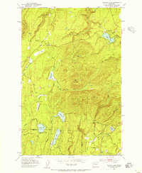
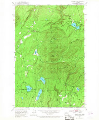
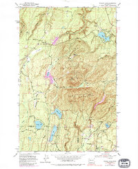
Editions of this 1953 Wildcat Lake Map
4 editions found
Other maps of this area

1936 · Point Misery
USGS Topo · 1:62,500

1937 · Port Orchard
USGS Topo · 1:62,500

1938 · Allyn
USGS Topo · 1:62,500

1940 · Point Misery
USGS Topo · 1:62,500

1942 · Gig Harbor
USGS Topo · 1:62,500

1943 · Gig Harbor
USGS Topo · 1:62,500

1953 · Seabeck
USGS Topo · 1:24,000

1953 · Poulsbo
USGS Topo · 1:24,000

1953 · Burley
USGS Topo · 1:24,000

1953 · Bremerton West
USGS Topo · 1:24,000