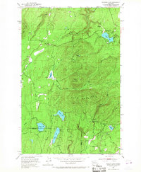
1953 Map of Wildcat Lake
USGS Topo · Published 1967About this map
Wildcat Lake and the surrounding timbered uplands of the Gold Mountain range define this West Puget Sound landscape in the early 1950s. The map illustrates a network of small settlements and rural outposts, including Hite Center, Crosby, and Camp Union, which served as local hubs for the area's residents. Economic activity is visible through a handful of industrial markers like the Quarry and Gravel Pit, while the presence of the Leisureland Air Park and a Boy Scout Camp near Tahuya Lake highlights the region's developing role in recreation.
Find a feature on this map
36 named features on this map. Tap any name to fly to it.
Don’t see what you’re looking for? This feature index may not catch every label — zoom into the map to look around manually.
Map Details
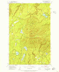
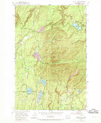
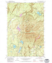
Editions of this 1953 Wildcat Lake Map
4 editions found
Other maps of this area

1936 · Point Misery
USGS Topo · 1:62,500

1937 · Port Orchard
USGS Topo · 1:62,500

1938 · Allyn
USGS Topo · 1:62,500

1940 · Point Misery
USGS Topo · 1:62,500

1942 · Gig Harbor
USGS Topo · 1:62,500

1943 · Gig Harbor
USGS Topo · 1:62,500

1953 · Seabeck
USGS Topo · 1:24,000

1953 · Poulsbo
USGS Topo · 1:24,000

1953 · Burley
USGS Topo · 1:24,000

1953 · Bremerton West
USGS Topo · 1:24,000