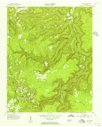
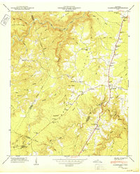
1955 Map of Wilder
USGS Topo · Published 1956About this map
The coal-mining town of Wilder and its neighbor Davidson anchor this mid-century portrait of the Cumberland Plateau's eastern edge. Situated along the Overton and Fentress County border, the landscape is defined by the industrial operations of numerous Strip Mines that follow the winding contours of the hills. The Tennessee Central railroad provides the vital infrastructure for this extractive economy, connecting the remote settlements of Highland and Vine Ridge to broader markets.
Find a feature on this map
37 named features on this map. Tap any name to fly to it.
Don’t see what you’re looking for? This feature index may not catch every label — zoom into the map to look around manually.
Map Details
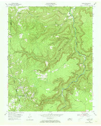
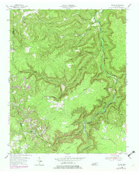
Editions of this 1955 Wilder Map
3 editions found
Other maps of this area

1895 · Wartburg
USGS Topo · 1:125,000

1896 · Wartburg
USGS Topo · 1:125,000

1897 · Standingstone
USGS Topo · 1:125,000

1898 · Standingstone
USGS Topo · 1:125,000

1935 · Clarkrange
USGS Topo · 1:24,000

1936 · Jones Knob
USGS Topo · 1:24,000

1946 · Clarkrange
USGS Topo · 1:24,000

1946 · Obey City
USGS Topo · 1:24,000
1949 · Jones Knob
USGS Topo · 1:24,000
1950 · Clarkrange
USGS Topo · 1:24,000