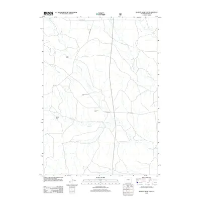
2012 Map of Wildlife Draw East
USGS Topo · Published 2012About this map
Christensen Ranch serves as a primary landmark in this section of Weston County, where the high plains landscape is defined by a network of drainage draws and seasonal creeks. The presence of the Lodgepole Creek Oil Field indicates the industrial character of the region, where energy extraction meets traditional ranching operations. Waterways such as Lone Tree Cr and Lodgepole Cr carve through the terrain, joined by others like W Fork Hay Cr and Hay Cr to the east. Topographical features like Rough Draw and Wildcat Draw break the horizon, while a network of rural routes including Raven Creek Rd and Mush Creek Rd connect these remote outposts. This survey provides a clear look at how land use and infrastructure were organized in the early twenty-first century.
Find a feature on this map
12 named features on this map. Tap any name to fly to it.
Don’t see what you’re looking for? This feature index may not catch every label — zoom into the map to look around manually.
Map Details
Editions of this 2012 Wildlife Draw East Map
This is the sole edition of this map. No revisions or reprints were ever made.
Other maps of this area

1955 · Newcastle
USGS Topo · 1:250,000

1958 · Newcastle
USGS Topo · 1:250,000

1979 · Newcastle
USGS Topo · 1:100,000
1982 · Darlington Draw West
USGS Topo · 1:24,000
1982 · Wildlife Draw West
USGS Topo · 1:24,000

1982 · Clareton
USGS Topo · 1:24,000
1982 · Sheep Canyon Creek West
USGS Topo · 1:24,000
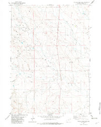
1982 · Wildlife Draw East
USGS Topo · 1:24,000
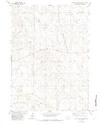
1982 · Darlington Draw East
USGS Topo · 1:24,000
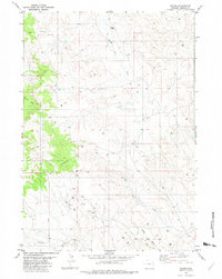
1982 · Raven
USGS Topo · 1:24,000