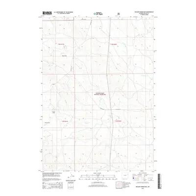
2015 Map of Wildlife Draw East
USGS Topo · Published 2015About this map
Thunder Basin National Grassland dominates this portion of the Powder River Basin, where a network of seasonal watercourses and remote ranch roads defines the landscape. The drainage patterns of Lodgepole Creek and Lone Tree Creek illustrate the high-plains geography of Weston County, carving subtle relief into the terrain. Topographic landmarks like Wildlife Draw and Wildcat Draw serve as essential reference points in an area otherwise characterized by vast stretches of open rangeland. The presence of Raven Creek Road and Mush Creek Road indicates the sparse but vital transportation corridors used for livestock management and resource access. This map provides a clear view of the Public Land Survey System grid, highlighting the township and range divisions that organized this part of Wyoming for settlement and conservation.
Find a feature on this map
16 named features on this map. Tap any name to fly to it.
Don’t see what you’re looking for? This feature index may not catch every label — zoom into the map to look around manually.
Map Details
Editions of this 2015 Wildlife Draw East Map
This is the sole edition of this map. No revisions or reprints were ever made.
Other maps of this area

1955 · Newcastle
USGS Topo · 1:250,000

1958 · Newcastle
USGS Topo · 1:250,000

1979 · Newcastle
USGS Topo · 1:100,000
1982 · Darlington Draw West
USGS Topo · 1:24,000
1982 · Wildlife Draw West
USGS Topo · 1:24,000

1982 · Clareton
USGS Topo · 1:24,000
1982 · Sheep Canyon Creek West
USGS Topo · 1:24,000
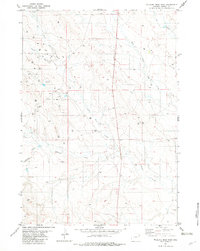
1982 · Wildlife Draw East
USGS Topo · 1:24,000
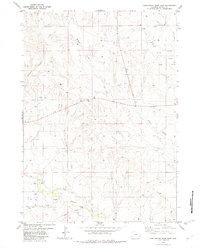
1982 · Darlington Draw East
USGS Topo · 1:24,000
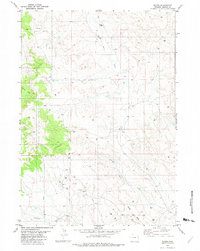
1982 · Raven
USGS Topo · 1:24,000