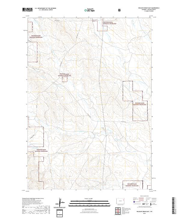
2021 Map of Wildlife Draw East
USGS Topo · Published 2021About this map
Thunder Basin National Grassland dominates this portion of Weston County, where the high plains landscape is defined by a dendritic network of ephemeral watercourses and local ranching roads. The drainage patterns of Lone Tree Cr and Lodgepole Cr reveal the subtle topographic shifts of the Great Plains, while features like Rough Draw and Wildcat Draw characterize the erosional breaks in the terrain. Human presence is marked by a sparse but essential road network, including Raven Creek Rd and Christensen Rd, which provide access through these expansive public lands. An interesting point of local water management is visible at the Cellers 9-499-4 Reservoir, a small catchment typical of the arid western landscape where every water source is a critical landmark for livestock and wildlife.
Find a feature on this map
16 named features on this map. Tap any name to fly to it.
Don’t see what you’re looking for? This feature index may not catch every label — zoom into the map to look around manually.
Map Details
Editions of this 2021 Wildlife Draw East Map
This is the sole edition of this map. No revisions or reprints were ever made.
Other maps of this area

1955 · Newcastle
USGS Topo · 1:250,000

1958 · Newcastle
USGS Topo · 1:250,000

1979 · Newcastle
USGS Topo · 1:100,000
1982 · Darlington Draw West
USGS Topo · 1:24,000
1982 · Wildlife Draw West
USGS Topo · 1:24,000

1982 · Clareton
USGS Topo · 1:24,000
1982 · Sheep Canyon Creek West
USGS Topo · 1:24,000
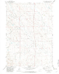
1982 · Wildlife Draw East
USGS Topo · 1:24,000
1982 · Darlington Draw East
USGS Topo · 1:24,000
1982 · Raven
USGS Topo · 1:24,000