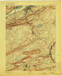
1894 Map of Wilkes-Barre
USGS Topo · Published 1919About this map
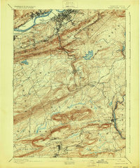
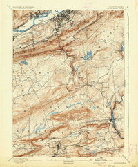
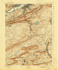
Wilkes-Barre anchors the northern end of this survey, a dense urban grid at the heart of the anthracite region before the turn of the century. The Susquehanna River defines the valley floor, serviced by the Plymouth Ferry and a network of competing rail lines including the Bloomsburg Division and P. & E. R. R. The landscape transitions sharply from the river flats into the high ridges of Wilkes Barre Mountain and Wyoming Mountain.
Find a feature on this map
88 named features on this map. Tap any name to fly to it.
Don’t see what you’re looking for? This feature index may not catch every label — zoom into the map to look around manually.
Map Details
Editions of this 1894 Wilkes-Barre Map
8 editions found

Other maps of this area

1889 · Scranton
USGS Topo · 1:62,500

1889 · Hazleton
USGS Topo · 1:62,500

1891 · Wilkesbarre
USGS Topo · 1:62,500

1891 · Hazleton
USGS Topo · 1:62,500

1891 · Scranton
USGS Topo · 1:62,500

1891 · Harveys Lake
USGS Topo · 1:62,500

1892 · Mahanoy
USGS Topo · 1:62,500

1893 · Hazleton
USGS Topo · 1:62,500

1893 · Harvey Lake
USGS Topo · 1:62,500

1893 · Pittston
USGS Topo · 1:62,500