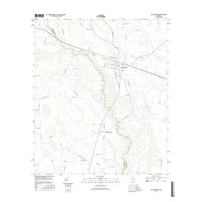
2017 Map of Willacoochee
USGS Topo · Published 2017About this map
The town of Willacoochee sits at a geographic crossroads in South Georgia, positioned where the Alapaha River and Willacoochee River converge. This 2017 survey shows a landscape defined by the winding river systems and extensive wetland basins, including Meeting House Bay, Long Bay, and Camp Bay. The street grid of the main settlement is dense with local history identifiers like Main St and Savannah Ave, while the surrounding rural areas are marked by family-named roads and remote landmarks.
Find a feature on this map
70 named features on this map. Tap any name to fly to it.
Don’t see what you’re looking for? This feature index may not catch every label — zoom into the map to look around manually.
Map Details
Editions of this 2017 Willacoochee Map
This is the sole edition of this map. No revisions or reprints were ever made.
Other maps of this area

1953 · Waycross
USGS Topo · 1:250,000

1958 · Waycross
USGS Topo · 1:250,000

1972 · Tenmile Bay
USGS Topo · 1:24,000

1972 · Kirkland
USGS Topo · 1:24,000

1972 · Willacoochee
USGS Topo · 1:24,000

1972 · Lax
USGS Topo · 1:24,000

1972 · Henderson Still
USGS Topo · 1:24,000

1972 · Mora
USGS Topo · 1:24,000
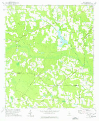
1977 · Mora
USGS Topo · 1:24,000
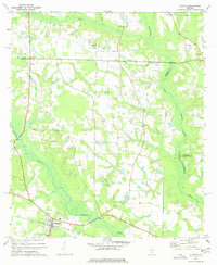
1977 · Alapaha
USGS Topo · 1:24,000