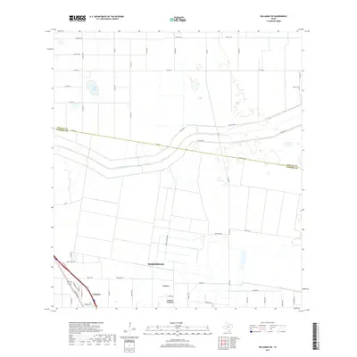
2019 Map of Willamar SW
USGS Topo · Published 2019About this map
The boundary between Willacy Co and Cameron Co bisects this landscape, marking a transition from the agricultural grid to the suburban outskirts of Harlingen. The northern reaches are characterized by large-scale land divisions and drainage infrastructure, such as the Pilot Channel and dual embankments of Levee Road 1 and Levee Road 2, which manage water across the flat coastal plain. Near the northern margin, Santa Rosa Lake provides a notable natural landmark amidst the surveyed road network.
Find a feature on this map
53 named features on this map. Tap any name to fly to it.
Don’t see what you’re looking for? This feature index may not catch every label — zoom into the map to look around manually.
Map Details
Editions of this 2019 Willamar SW Map
This is the sole edition of this map. No revisions or reprints were ever made.
Other maps of this area

1929 · Rio Hondo
USGS Topo · 1:24,000

1929 · Harlingen
USGS Topo · 1:24,000

1929 · Santa Rosa
USGS Topo · 1:24,000

1929 · La Feria
USGS Topo · 1:24,000

1932 · Combes
USGS Topo · 1:31,680

1932 · Rio Hondo
USGS Topo · 1:31,680

1932 · Harlingen
USGS Topo · 1:31,680

1933 · Santa Rosa
USGS Topo · 1:31,680

1933 · Paso Real
USGS Topo · 1:31,680

1936 · La Feria
USGS Topo · 1:31,680