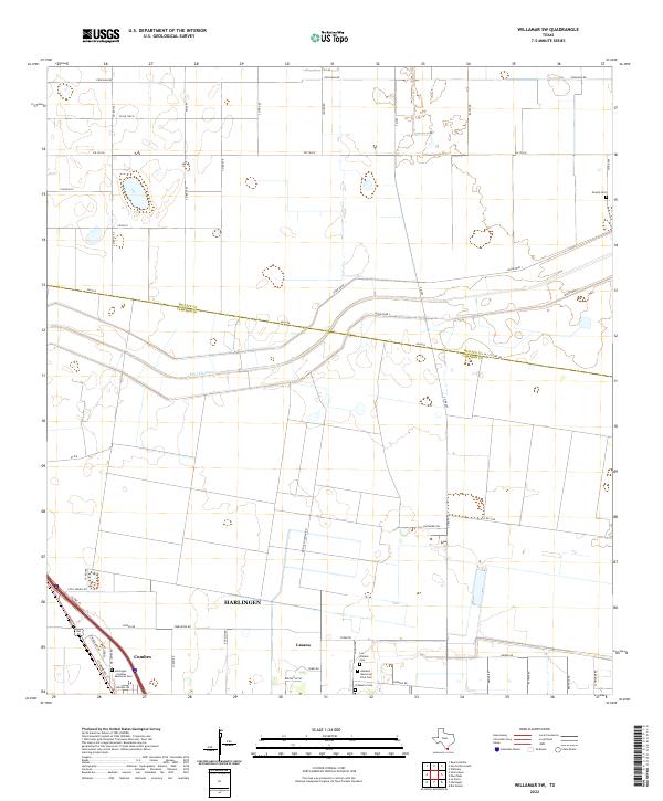
2022 Map of Willamar SW
USGS Topo · Published 2022About this map
Harlingen and the nearby community of Combes anchor the southwestern corner of this survey, where residential developments meet the agricultural expansive of the Rio Grande Valley. The landscape is defined by its drainage and irrigation network, most notably the Pilot Channel which cuts across the central terrain. This area at the border of Willacy and Cameron counties serves as a significant site for local genealogy, containing numerous burial grounds such as Noyola Cemetery and Ashland Memorial Park Cemetery. The presence of smaller rural settlements like Lasana and landmarks such as El Muerto Cemetery illustrate the localized settlement patterns of the South Texas borderlands. The map also detailes the early 21st-century road network, including US Highway 77 and several farm-to-market roads that connect these agricultural and residential zones.
Find a feature on this map
55 named features on this map. Tap any name to fly to it.
Don’t see what you’re looking for? This feature index may not catch every label — zoom into the map to look around manually.
Map Details
Editions of this 2022 Willamar SW Map
This is the sole edition of this map. No revisions or reprints were ever made.
Other maps of this area

1929 · Rio Hondo
USGS Topo · 1:24,000

1929 · Harlingen
USGS Topo · 1:24,000

1929 · Santa Rosa
USGS Topo · 1:24,000

1929 · La Feria
USGS Topo · 1:24,000

1932 · Combes
USGS Topo · 1:31,680

1932 · Rio Hondo
USGS Topo · 1:31,680

1932 · Harlingen
USGS Topo · 1:31,680

1933 · Santa Rosa
USGS Topo · 1:31,680

1933 · Paso Real
USGS Topo · 1:31,680

1936 · La Feria
USGS Topo · 1:31,680