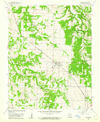
1961 Map of Willard
USGS Topo · Published 1962About this map
The town of Willard serves as a central hub for this portion of Greene County, situated along the ST Louis San Francisco railroad line. The landscape is defined by the winding course of the Little Sac River to the northeast and the deep incision of Big Hollow to the southwest. This 1961 revision of earlier 1940s surveys captures a transition period in the rural economy, showing the early expansion of Willard near several Radio Towers. Local community life is anchored by landmarks like Mt Pleasant Ch and Tatum Chapel, while the presence of the Hackney Mill Bridge suggests the historical importance of the river crossings. The map provides significant detail for genealogists, documenting several burial sites including Wesley Cem and Murray Cem, alongside numerous named springs such as Cave Spring and Brower Spring.
Find a feature on this map
32 named features on this map. Tap any name to fly to it.
Don’t see what you’re looking for? This feature index may not catch every label — zoom into the map to look around manually.
Map Details
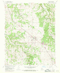
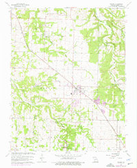
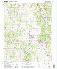
Editions of this 1961 Willard Map
4 editions found
Other maps of this area

1884 · Springfield
USGS Topo · 1:125,000

1886 · Greenfield
USGS Topo · 1:125,000

1886 · Springfield
USGS Topo · 1:125,000

1888 · Greenfield
USGS Topo · 1:125,000

1919 · Halltown
USGS Topo · 1:62,500

1935 · Springfield
USGS Topo · 1:24,000

1936 · Brookline
USGS Topo · 1:24,000

1948 · Willard
USGS Topo · 1:24,000

1948 · Ebenezer
USGS Topo · 1:24,000

1954 · Springfield
USGS Topo · 1:250,000