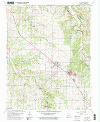
1961 Map of Willard
USGS Topo · Published 1976About this map
The town of Willard serves as a central hub for this Greene County landscape, where the ST L - S F RR cuts diagonally across a terrain defined by rolling hills and significant water sources. The Little Sac River winds through the northeast corner, crossed by notable structures such as the Hackney Mill Bridge and Sheels Bridge. Local history is deeply rooted in rural congregations and burial grounds, including Tatum Chapel, Friendship Ch, and the Wesley Cem. Small settlements like Pearl and Cave Spring mark the periphery of Willard's growth, while the southern edge transition toward the Springfield Municipal Airport. The industrial presence of a Quarry near the railroad tracks and the recreational Golf Course northwest of town suggest a diversifying economy in the mid-20th century, balanced by established agriculture and family-named landmarks like Flint Hill and Brower Spring.
Find a feature on this map
36 named features on this map. Tap any name to fly to it.
Don’t see what you’re looking for? This feature index may not catch every label — zoom into the map to look around manually.
Map Details
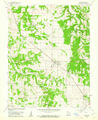
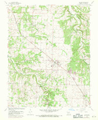
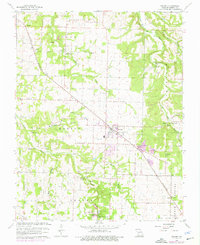
Editions of this 1961 Willard Map
4 editions found
Other maps of this area

1884 · Springfield
USGS Topo · 1:125,000

1886 · Greenfield
USGS Topo · 1:125,000

1886 · Springfield
USGS Topo · 1:125,000

1888 · Greenfield
USGS Topo · 1:125,000

1919 · Halltown
USGS Topo · 1:62,500

1935 · Springfield
USGS Topo · 1:24,000

1936 · Brookline
USGS Topo · 1:24,000

1948 · Willard
USGS Topo · 1:24,000

1948 · Ebenezer
USGS Topo · 1:24,000

1954 · Springfield
USGS Topo · 1:250,000