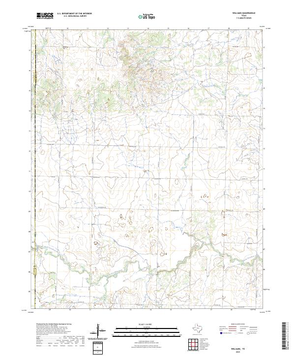
2023 Map of Williams
USGS Topo · Published 2023About this map
The border between Childress and Hardeman Counties marks the western edge of this landscape in the Texas panhandle, where a network of rural roads and creek beds defines the local geography. Significant watercourses such as North Groesbeck Creek and Tepee Creek traverse the region, accompanied by smaller tributaries like Papoose Creek and Brooks Creek. These natural drainage patterns dictate the placement of the sparse road grid, which relies on routes like FM 680 and FM 268 to connect the ranching and agricultural lands.
Find a feature on this map
26 named features on this map. Tap any name to fly to it.
Don’t see what you’re looking for? This feature index may not catch every label — zoom into the map to look around manually.
Map Details
Editions of this 2023 Williams Map
This is the sole edition of this map. No revisions or reprints were ever made.
Other maps of this area

1954 · Plainview
USGS Topo · 1:250,000

1955 · Lawton
USGS Topo · 1:250,000

1958 · Plainview
USGS Topo · 1:250,000

1960 · Goodlett
USGS Topo · 1:62,500

1960 · Loco
USGS Topo · 1:62,500

1961 · Hollis
USGS Topo · 1:62,500

1967 · Kirkland South
USGS Topo · 1:24,000

1967 · Kirkland North
USGS Topo · 1:24,000

1975 · Hollis SE
USGS Topo · 1:24,000
1984 · Quanah West
USGS Topo · 1:24,000